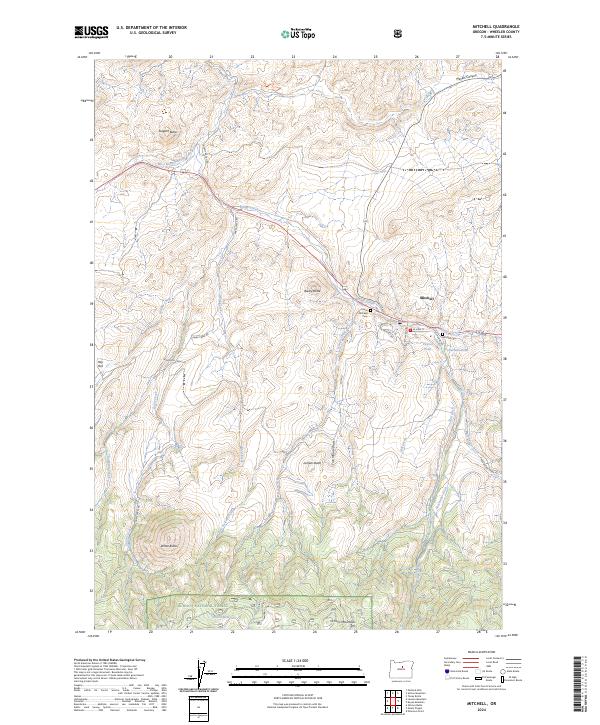
2024 Map of Mitchell
USGS Topo · Published 2024About this map
The high desert community of Mitchell serves as the focal point for this landscape, where the town's geography is defined by the winding course of Bridge Creek. The area’s history is reflected in its local landmarks, including the Mitchell Cem and Lower Mitchell Cem, situated near the confluence of Mill Creek and Keyes Creek. The terrain is characterized by a series of prominent rises such as Bailey Butte, Sargent Butte, and White Butte, which overlook the surrounding canyons and flats like Hay Flat.
Find a feature on this map
40 named features on this map. Tap any name to fly to it.
Don’t see what you’re looking for? This feature index may not catch every label — zoom into the map to look around manually.
Map Details
Editions of this 2024 Mitchell Map
This is the sole edition of this map. No revisions or reprints were ever made.
Other maps of this area

1926 · Mitchell
USGS Topo · 1:125,000

1951 · Lookout Mtn
USGS Topo · 1:62,500

1955 · Bend
USGS Topo · 1:250,000

1957 · Bend
USGS Topo · 1:250,000

1958 · Bend
USGS Topo · 1:250,000

1966 · Peterson Point
USGS Topo · 1:24,000

1966 · Mt. Pisgah
USGS Topo · 1:24,000

1966 · Mitchell
USGS Topo · 1:62,500

1968 · Painted Hills
USGS Topo · 1:24,000

1968 · Lawson Mtn
USGS Topo · 1:24,000