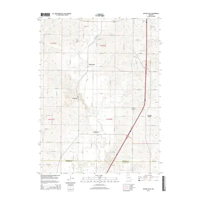
2014 Map of Mitchellville
USGS Topo · Published 2014About this map
Mitchellville and Wildwood anchor the northern landscape of this Harrison County region, where the terrain is deeply etched by a dense network of tributaries. The drainage pattern of Big Creek, Polecat Creek, and Crabapple Branch dictates the local road layout, with routes like Marble Rd and W 350th St navigating around these watercourses. Further south, the community of Bridgeport sits near the crossing of Big Creek, while Pleasant Ridge occupies higher ground to the east.
Find a feature on this map
48 named features on this map. Tap any name to fly to it.
Don’t see what you’re looking for? This feature index may not catch every label — zoom into the map to look around manually.
Map Details
Editions of this 2014 Mitchellville Map
This is the sole edition of this map. No revisions or reprints were ever made.
Other maps of this area

1925 · Pattonsburg
USGS Topo · 1:62,500

1925 · Gilman
USGS Topo · 1:62,500

1944 · Pattonsburg
USGS Topo · 1:62,500

1946 · Gilman
USGS Topo · 1:48,000

1946 · Pattonsburg
USGS Topo · 1:48,000

1947 · Blythedale
USGS Topo · 1:62,500

1948 · Gilman
USGS Topo · 1:62,500

1948 · Bethany
USGS Topo · 1:62,500

1948 · Pattonsburg
USGS Topo · 1:62,500

1954 · Centerville
USGS Topo · 1:250,000