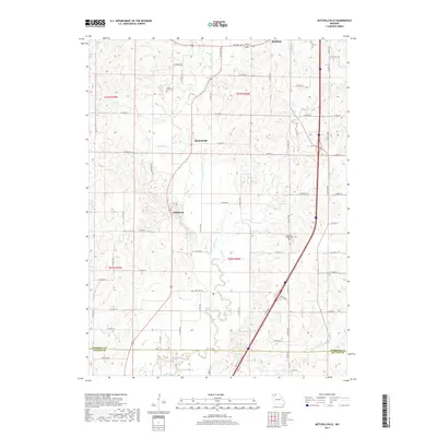
2017 Map of Mitchellville
USGS Topo · Published 2017About this map
Mitchellville and Wildwood anchor this agricultural landscape in northern Missouri, where the terrain is defined by a dense network of seasonal drainages and creeks. The map illustrates a rural society organized around land sections and a grid of township roads such as W Marble Rd and Ashwood Ave. At the southern edge, the border between Harrison Co and Daviess Co is clearly marked as it crosses the winding path of Big Creek.
Find a feature on this map
46 named features on this map. Tap any name to fly to it.
Don’t see what you’re looking for? This feature index may not catch every label — zoom into the map to look around manually.
Map Details
Editions of this 2017 Mitchellville Map
This is the sole edition of this map. No revisions or reprints were ever made.
Other maps of this area

1925 · Pattonsburg
USGS Topo · 1:62,500

1925 · Gilman
USGS Topo · 1:62,500

1944 · Pattonsburg
USGS Topo · 1:62,500

1946 · Gilman
USGS Topo · 1:48,000

1946 · Pattonsburg
USGS Topo · 1:48,000

1947 · Blythedale
USGS Topo · 1:62,500

1948 · Gilman
USGS Topo · 1:62,500

1948 · Bethany
USGS Topo · 1:62,500

1948 · Pattonsburg
USGS Topo · 1:62,500

1954 · Centerville
USGS Topo · 1:250,000