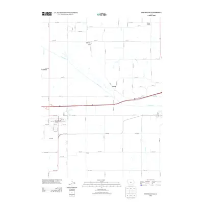
2013 Map of Mitchellville
USGS Topo · Published 2013About this map
Mitchellville serves as the primary hub of this eastern Polk County landscape, which is defined by the winding course of the S Skunk River as it moves southeast through the central portion of the sheet. The town's grid is clearly delineated, bordered by Clarks Lake and the arterial highway system that bisects the region. Smaller rural nodes like Valeria, Santiago, and Oswalt highlight the distribution of agricultural settlements across the fertile plains.
Find a feature on this map
91 named features on this map. Tap any name to fly to it.
Don’t see what you’re looking for? This feature index may not catch every label — zoom into the map to look around manually.
Map Details
Editions of this 2013 Mitchellville Map
This is the sole edition of this map. No revisions or reprints were ever made.
Other maps of this area

1930 · Mitchellville
USGS Topo · 1:62,500

1954 · Des Moines
USGS Topo · 1:250,000

1956 · Des Moines
USGS Topo · 1:250,000

1957 · Des Moines
USGS Topo · 1:250,000

1965 · Prairie City
USGS Topo · 1:24,000

1965 · Colfax
USGS Topo · 1:24,000

1969 · Des Moines
USGS Topo · 1:250,000
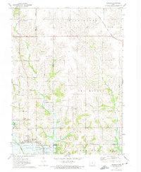
1972 · Runnells
USGS Topo · 1:24,000
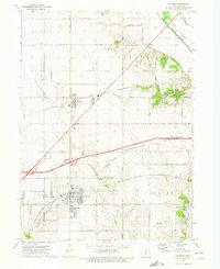
1972 · Altoona
USGS Topo · 1:24,000
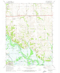
1972 · Rising Sun
USGS Topo · 1:24,000