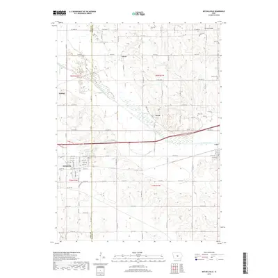
2018 Map of Mitchellville
USGS Topo · Published 2018About this map
The South Skunk River meanders across this central Iowa landscape, dividing the border between Polk and Jasper counties. The town of Mitchellville sits in the southwestern corner, showing a well-defined street grid including Mill St SE and Center Ave N, while smaller settlements like Valeria, Santiago, and Oswalt are scattered through the agricultural hinterland. The map reveals the intricate water network feeding the river valley, including Sugar Cr, Santiago Cr, and Squaw Cr, along with the Old Channel which indicates historical changes in the river's course.
Find a feature on this map
67 named features on this map. Tap any name to fly to it.
Don’t see what you’re looking for? This feature index may not catch every label — zoom into the map to look around manually.
Map Details
Editions of this 2018 Mitchellville Map
This is the sole edition of this map. No revisions or reprints were ever made.
Other maps of this area

1930 · Mitchellville
USGS Topo · 1:62,500

1954 · Des Moines
USGS Topo · 1:250,000

1956 · Des Moines
USGS Topo · 1:250,000

1957 · Des Moines
USGS Topo · 1:250,000

1965 · Prairie City
USGS Topo · 1:24,000

1965 · Colfax
USGS Topo · 1:24,000

1969 · Des Moines
USGS Topo · 1:250,000
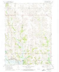
1972 · Runnells
USGS Topo · 1:24,000
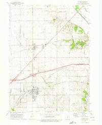
1972 · Altoona
USGS Topo · 1:24,000
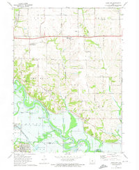
1972 · Rising Sun
USGS Topo · 1:24,000