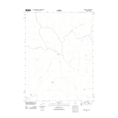
2011 Map of Mixie Flat
USGS Topo · Published 2011About this map
Mixie Flat sits at a remote crossroads in northern Washoe County, where the high desert terrain is defined by a complex network of seasonal watercourses and scattered springs. The landscape is dominated by the East Fork Smoke Creek and the Parsnip Wash drainage systems, which converge from various elevations toward the southwest. In this arid region, named water sources like Horse Corral Spring, Indian Spring, and Sage Hen Spring indicate the essential points of reliability for ranching and wildlife in an otherwise dry environment. The presence of Smoke Creek Reservoir in the southwestern corner and the prominent heights of Twin Peaks and Chimney Canyon provide significant topographical landmarks. This area, accessed primarily by unpaved routes like Mixie Flat Rd, represents the vast, open character of Nevada's basin and range geography, where early names often reflect specific uses or natural characteristics of the land.
Find a feature on this map
26 named features on this map. Tap any name to fly to it.
Don’t see what you’re looking for? This feature index may not catch every label — zoom into the map to look around manually.
Map Details
Editions of this 2011 Mixie Flat Map
This is the sole edition of this map. No revisions or reprints were ever made.
Other maps of this area

1886 · Honey Lake
USGS Topo · 1:250,000

1886 · Granite Range
USGS Topo · 1:250,000

1891 · Honey Lake
USGS Topo · 1:250,000

1893 · Honey Lake
USGS Topo · 1:250,000

1894 · Granite Range
USGS Topo · 1:250,000

1954 · Observation Peak
USGS Topo · 1:62,500

1954 · Shinn Mountain
USGS Topo · 1:62,500

1955 · Westwood
USGS Topo · 1:250,000

1955 · Lovelock
USGS Topo · 1:250,000

1958 · Westwood
USGS Topo · 1:250,000