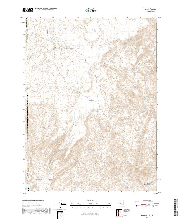
2021 Map of Mixie Flat
USGS Topo · Published 2021About this map
Mixie Flat serves as the central focal point of this arid high-desert landscape situated along the border of Nevada and California. This region is characterized by a complex network of seasonal drainages and essential water sources, including the strategically located Byers Spring and Horse Corral Spring. The terrain is defined by dramatic elevation changes, notably around Twin Peaks and the deep incisions of Chimney Rock Canyon and Wilcox Canyon.
Find a feature on this map
32 named features on this map. Tap any name to fly to it.
Don’t see what you’re looking for? This feature index may not catch every label — zoom into the map to look around manually.
Map Details
Editions of this 2021 Mixie Flat Map
This is the sole edition of this map. No revisions or reprints were ever made.
Other maps of this area

1886 · Honey Lake
USGS Topo · 1:250,000

1886 · Granite Range
USGS Topo · 1:250,000

1891 · Honey Lake
USGS Topo · 1:250,000

1893 · Honey Lake
USGS Topo · 1:250,000

1894 · Granite Range
USGS Topo · 1:250,000

1954 · Observation Peak
USGS Topo · 1:62,500

1954 · Shinn Mountain
USGS Topo · 1:62,500

1955 · Westwood
USGS Topo · 1:250,000

1955 · Lovelock
USGS Topo · 1:250,000

1958 · Westwood
USGS Topo · 1:250,000