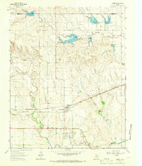
1963 Map of Mobeetie
USGS Topo · Published 1966About this map
Mobeetie and New Mobeetie center this mid-century survey of the Texas Panhandle, a landscape defined by the branching tributaries of Sweetwater Creek and Gageby Creek. The area’s frontier heritage is marked by the Port Elliott (Historical Site), located near a bend in the creek south of the modern settlements. The terrain is punctuated by significant local landmarks like Bankhead Mound and Lime Hill, while the industrial footprint of the 1960s is evident in the numerous water control structures such as Dam No 17 and Dam No 18.
Find a feature on this map
30 named features on this map. Tap any name to fly to it.
Don’t see what you’re looking for? This feature index may not catch every label — zoom into the map to look around manually.
Map Details
Editions of this 1963 Mobeetie Map
This is the sole edition of this map. No revisions or reprints were ever made.
Other maps of this area
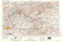
1954 · Amarillo
USGS Topo · 1:250,000
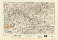
1958 · Amarillo
USGS Topo · 1:250,000
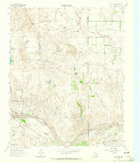
1962 · Pond Creek
USGS Topo · 1:24,000
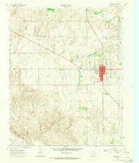
1962 · Wheeler
USGS Topo · 1:24,000
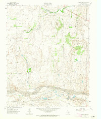
1962 · Spring Creek
USGS Topo · 1:24,000
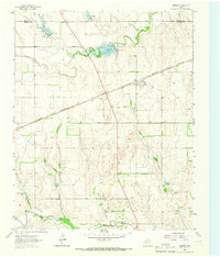
1963 · Briscoe
USGS Topo · 1:24,000
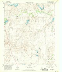
1967 · Dads Creek
USGS Topo · 1:24,000
1967 · Young Ranch
USGS Topo · 1:24,000
1967 · Tody School
USGS Topo · 1:24,000
1967 · Lora
USGS Topo · 1:24,000