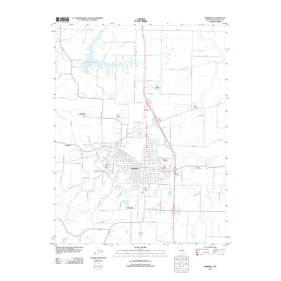
2012 Map of Moberly
USGS Topo · Published 2012About this map
Moberly serves as a central hub for Randolph County, Missouri, characterized by its dense grid of streets and significant transportation infrastructure. The landscape is defined by its numerous reservoirs and small waterways, including Sugar Creek Lake to the north and the Elk Fork Salt River to the east. The city is flanked by smaller satellite communities like Kimberly and Urbandale, with the industrial and aviation legacy represented by the Omar N Bradley Airport. Significant for local historians and genealogists, the map identifies several local burying grounds, such as Saint Marys Cemetery and Oakland Cemetery, along with more rural sites like the Sugar Creek Cemetery. The rail infrastructure is still evident through the presence of Long Siding, while recreational and municipal water management is highlighted by features such as White Oak Camp Lake and the Water Works Lake Dam.
Find a feature on this map
108 named features on this map. Tap any name to fly to it.
Don’t see what you’re looking for? This feature index may not catch every label — zoom into the map to look around manually.
Map Details
Editions of this 2012 Moberly Map
This is the sole edition of this map. No revisions or reprints were ever made.
Other maps of this area

1890 · Moberly
USGS Topo · 1:125,000

1890 · Glasgow
USGS Topo · 1:125,000

1908 · Macon
USGS Topo · 1:62,500

1910 · Macon
USGS Topo · 1:62,500

1952 · Middle Grove
USGS Topo · 1:24,000

1953 · Moberly
USGS Topo · 1:250,000

1953 · Renick
USGS Topo · 1:24,000

1953 · Huntsville
USGS Topo · 1:24,000

1953 · Higbee
USGS Topo · 1:24,000

1953 · Clark
USGS Topo · 1:24,000