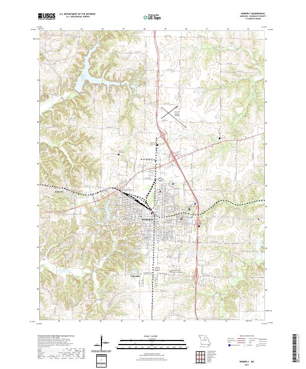
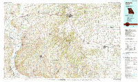
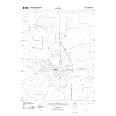
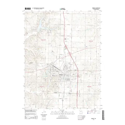
2021 Map of Moberly
USGS Topo · Published 2021About this map
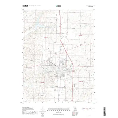
Moberly stands as a significant regional center in central Missouri, where a complex grid of residential and commercial streets converges around a central transit corridor. The town's institutional character is defined by educational hubs like Moberly Area Community College and the Central Christian College of the Bible, while its perimeter is marked by numerous historic burial grounds including Oakland Cem and Saint Marys Cem.
Find a feature on this map
172 named features on this map. Tap any name to fly to it.
Don’t see what you’re looking for? This feature index may not catch every label — zoom into the map to look around manually.
Map Details
Editions of this 2021 Moberly Map
This is the sole edition of this map. No revisions or reprints were ever made.
Historical Maps of Moberly Through Time
12 maps found
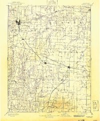
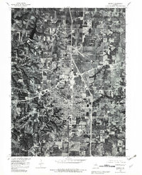
1890 Moberly
Randolph County, MO

1953 Moberly
Randolph County, MO
1953 Moberly
Randolph County, MO
1954 Moberly
Randolph County, MO

1957 Moberly
Randolph County, MO

1960 Moberly
Randolph County, MO
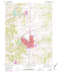
1980 Moberly
Randolph County, MO
1985 Moberly
Randolph County, MO
2012 Moberly
Randolph County, MO
2014 Moberly
Randolph County, MO
2017 Moberly
Randolph County, MO
2021 Moberly
Randolph County, MO