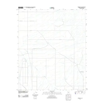
2011 Map of Mobile NE
USGS Topo · Published 2011About this map
Waterman Wash and its tributary, West Prong Waterman Wash, dominate this arid landscape, showing a complex network of ephemeral drainage patterns across the desert floor. The terrain is largely defined by these seasonal watercourses, which are punctuated by isolated water catchments such as Big Bertha Tank, Big Mac Tank, and East Tank. These features indicate the critical role of water management in a region where every wash and cistern represents a vital landmark. To the southeast, the elevation rises sharply at Sevenmile Mountain, providing a stark contrast to the surrounding alluvial plains.
Find a feature on this map
17 named features on this map. Tap any name to fly to it.
Don’t see what you’re looking for? This feature index may not catch every label — zoom into the map to look around manually.
Map Details
Editions of this 2011 Mobile NE Map
This is the sole edition of this map. No revisions or reprints were ever made.
Other maps of this area

1912 · Phoenix
USGS Topo · 1:62,500

1913 · Maricopa
USGS Topo · 1:62,500

1914 · Phoenix
USGS Topo · 1:62,500

1915 · Maricopa
USGS Topo · 1:62,500

1946 · Avondale
USGS Topo · 1:62,500

1948 · Cashion
USGS Topo · 1:62,500

1951 · Mobile
USGS Topo · 1:62,500

1952 · Laveen
USGS Topo · 1:24,000

1952 · Montezuma Peak
USGS Topo · 1:24,000

1952 · Enid
USGS Topo · 1:24,000