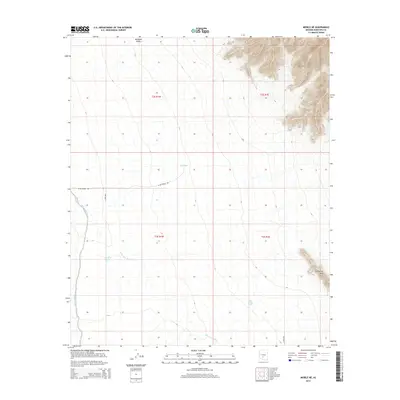
2014 Map of Mobile NE
USGS Topo · Published 2014About this map
Sierra Estrella dominates the northeastern horizon of this landscape, its steep contours contrasting with the broad alluvial basin of Rainbow Valley. The terrain is defined by a critical network of drainage and water management, where the Waterman Wash and the West Fork Waterman Wash provide the primary natural conduits for seasonal runoff. Scattered throughout the arid floor are named livestock or irrigation resources such as East Tank, Big Mac Tank, and Big Bertha Tank, which underscore the region's historical reliance on water engineering for ranching and desert survival.
Find a feature on this map
15 named features on this map. Tap any name to fly to it.
Don’t see what you’re looking for? This feature index may not catch every label — zoom into the map to look around manually.
Map Details
Editions of this 2014 Mobile NE Map
This is the sole edition of this map. No revisions or reprints were ever made.
Other maps of this area

1912 · Phoenix
USGS Topo · 1:62,500

1913 · Maricopa
USGS Topo · 1:62,500

1914 · Phoenix
USGS Topo · 1:62,500

1915 · Maricopa
USGS Topo · 1:62,500

1946 · Avondale
USGS Topo · 1:62,500

1948 · Cashion
USGS Topo · 1:62,500

1951 · Mobile
USGS Topo · 1:62,500

1952 · Laveen
USGS Topo · 1:24,000

1952 · Montezuma Peak
USGS Topo · 1:24,000

1952 · Enid
USGS Topo · 1:24,000