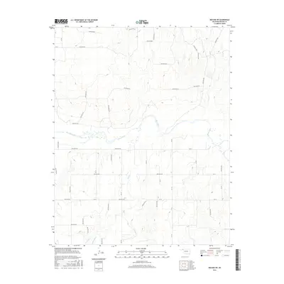
2016 Map of Mocane SW
USGS Topo · Published 2016About this map
The Beaver River winds centrally through this section of the Oklahoma Panhandle, carving a wide valley floor across the landscape. The geography is defined by a dense network of tributary systems, including Timber Cr to the northeast and Clear Cr to the south, each contributing to the complex drainage patterns of Beaver County. The terrain is marked by numerous named depressions such as Hollow E0107, Hollow E0116, and Hollow E0140, which reveal the intricate erosion of the high plains.
Find a feature on this map
22 named features on this map. Tap any name to fly to it.
Don’t see what you’re looking for? This feature index may not catch every label — zoom into the map to look around manually.
Map Details
Editions of this 2016 Mocane SW Map
This is the sole edition of this map. No revisions or reprints were ever made.
Other maps of this area

1954 · Perryton
USGS Topo · 1:250,000

1958 · Perryton
USGS Topo · 1:250,000

1970 · Mocane NW
USGS Topo · 1:24,000

1970 · Mocane SE
USGS Topo · 1:24,000
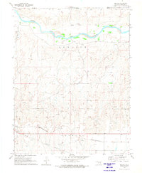
1970 · Mocane
USGS Topo · 1:24,000

1971 · Clear Lake NW
USGS Topo · 1:24,000

1971 · Clear Lake
USGS Topo · 1:24,000
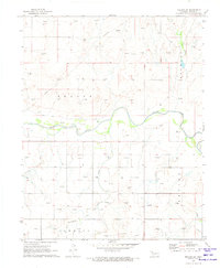
1971 · Mocane SW
USGS Topo · 1:24,000

1973 · Balko NE
USGS Topo · 1:24,000
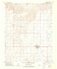
1973 · Forgan
USGS Topo · 1:24,000