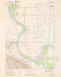
1970 Map of Modale
USGS Topo · Published 1979About this map
The Missouri River meanders across the border of Iowa and Nebraska in this 1970 survey, defining a landscape of shifting channels and conservation areas. On the eastern bank, the town of Modale serves as a hub for the agricultural Taylor and Cincinnati townships, while Blair sits prominently across the river in Nebraska. The region's transport and utility infrastructure is well-defined, featuring the Chicago and North Western railroad lines and the Fort Calhoun Powerplant.
Find a feature on this map
45 named features on this map. Tap any name to fly to it.
Don’t see what you’re looking for? This feature index may not catch every label — zoom into the map to look around manually.
Map Details
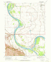
Editions of this 1970 Modale Map
2 editions found
Other maps of this area

1893 · Omaha
USGS Topo · 1:62,500

1893 · Fremont
USGS Topo · 1:125,000

1896 · Fremont
USGS Topo · 1:125,000

1954 · Omaha
USGS Topo · 1:250,000

1955 · Fremont
USGS Topo · 1:250,000

1957 · Fremont
USGS Topo · 1:250,000

1957 · Omaha
USGS Topo · 1:250,000

1957 · Loveland
USGS Topo · 1:24,000

1958 · Omaha
USGS Topo · 1:250,000

1958 · Fremont
USGS Topo · 1:250,000