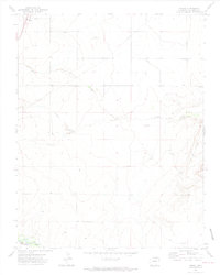
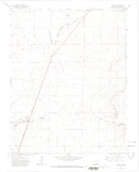
1971 Map of Model
USGS Topo · Published 1974About this map
Model sits as the primary settlement on this Las Animas County landscape, established along the At & Sf railroad corridor during a period when this stretch of Colorado served as a critical transit link. The terrain is defined by the intermittent drainages of Blackwell Arroyo and Luning Arroyo, which cut through the high plains toward the Purgatoire River at the southern edge of the survey. Near Fishers Crossing, the river bottom contrasts with the dry upland sections marked by industrial infrastructure like a large pipeline and several Gravel Pits. This 1971 record documents the area just after the peak of mid-century infrastructure expansion, showing how transportation routes like U.S. Route 350 followed the older tracks of the Santa Fe line to connect these isolated prairie outposts.
Find a feature on this map
11 named features on this map. Tap any name to fly to it.
Don’t see what you’re looking for? This feature index may not catch every label — zoom into the map to look around manually.
Map Details
Editions of this 1971 Model Map
2 editions found
Other maps of this area

1892 · Elmoro
USGS Topo · 1:125,000

1893 · Elmoro
USGS Topo · 1:125,000

1897 · Elmoro
USGS Topo · 1:125,000

1954 · Trinidad
USGS Topo · 1:250,000

1955 · Trinidad
USGS Topo · 1:250,000

1958 · Trinidad
USGS Topo · 1:250,000

1959 · Trinidad
USGS Topo · 1:250,000
1970 · Earl
USGS Topo · 1:24,000
1970 · Mooney Hills
USGS Topo · 1:24,000
1971 · Tyrone
USGS Topo · 1:24,000