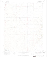
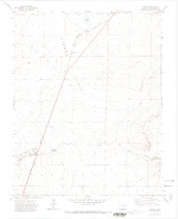
1971 Map of Model
USGS Topo · Published 1974About this map
Model and the surrounding ranchlands of Las Animas County are documented here during the early 1970s. The landscape is defined by the persistent flow of the Purgatoire River in the south and a network of ephemeral watercourses including Blackwell Arroyo and Luning Arroyo that cut through the high plains. The presence of the A T & S F railroad running alongside Highway 350 underscores the area's historic role as a transportation corridor connecting the Purgatoire valley to the broader region.
Find a feature on this map
13 named features on this map. Tap any name to fly to it.
Don’t see what you’re looking for? This feature index may not catch every label — zoom into the map to look around manually.
Map Details
Editions of this 1971 Model Map
2 editions found
Other maps of this area

1892 · Elmoro
USGS Topo · 1:125,000

1893 · Elmoro
USGS Topo · 1:125,000

1897 · Elmoro
USGS Topo · 1:125,000

1954 · Trinidad
USGS Topo · 1:250,000

1955 · Trinidad
USGS Topo · 1:250,000

1958 · Trinidad
USGS Topo · 1:250,000

1959 · Trinidad
USGS Topo · 1:250,000
1970 · Earl
USGS Topo · 1:24,000
1970 · Mooney Hills
USGS Topo · 1:24,000
1971 · Tyrone
USGS Topo · 1:24,000