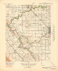
1941 Map of Modesto West
USGS Topo · Published 1941About this map
Grayson and Westley anchor the southwestern landscape of this 1941 survey, where the San Joaquin River and Tuolumne River converge. The area is defined by a dense network of irrigation infrastructure, including Lateral No 6 and Main Canal, which transformed this part of the Central Valley into a highly organized agricultural grid. A notable human element is the Farm Security Administration Camp near Westley, providing a rare look at the Depression-era social geography of migrant labor.
Find a feature on this map
61 named features on this map. Tap any name to fly to it.
Don’t see what you’re looking for? This feature index may not catch every label — zoom into the map to look around manually.
Map Details
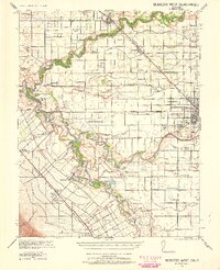
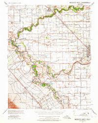
Editions of this 1941 Modesto West Map
3 editions found
Other maps of this area

1913 · Romain
USGS Topo · 1:31,680

1914 · Manteca
USGS Topo · 1:31,680

1914 · Avena
USGS Topo · 1:31,680

1915 · Vernalis
USGS Topo · 1:31,680

1915 · Lathrop
USGS Topo · 1:31,680

1915 · Ripon
USGS Topo · 1:31,680

1915 · Westport
USGS Topo · 1:31,680

1915 · Westley
USGS Topo · 1:31,680

1915 · Salida
USGS Topo · 1:31,680

1915 · Thalheim
USGS Topo · 1:31,680