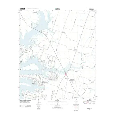
2012 Map of Moffat
USGS Topo · Published 2012About this map
Belton Lake dominates this Bell County landscape, its sprawling shoreline defining the residential growth and recreation of the early 21st century. The map illustrates a transition from the historic rural character of Moffat and White Hall to more modern developments like Morgans Point Resort and Woodland. Traces of the area's earlier settlement patterns remain visible through local landmarks such as Moffat Cem and Saint Pauls Cem.
Find a feature on this map
154 named features on this map. Tap any name to fly to it.
Don’t see what you’re looking for? This feature index may not catch every label — zoom into the map to look around manually.
Map Details
Editions of this 2012 Moffat Map
This is the sole edition of this map. No revisions or reprints were ever made.
Other maps of this area

1892 · Temple
USGS Topo · 1:125,000

1894 · Gatesville
USGS Topo · 1:125,000

1924 · Gatesville 4-d
USGS Topo · 1:48,000

1924 · Gatesville 4-a
USGS Topo · 1:48,000

1924 · Temple 2-C
USGS Topo · 1:48,000

1924 · Temple 3-C
USGS Topo · 1:48,000

1924 · Temple 3-B
USGS Topo · 1:48,000

1930 · Killeen
USGS Topo · 1:62,500

1931 · Mc Gregor
USGS Topo · 1:62,500

1931 · Belton
USGS Topo · 1:62,500