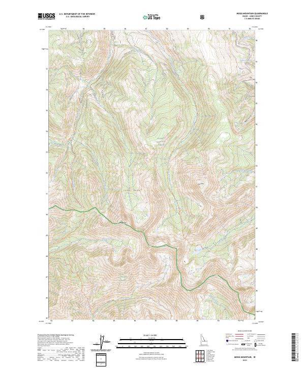
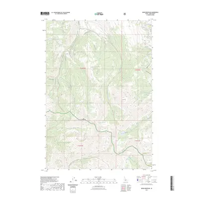
2023 Map of Mogg Mountain
USGS Topo · Published 2023About this map
The high peaks of the Lemhi Range dominate this topography, where the boundaries of the Salmon National Forest and Challis National Forest converge. This mountain landscape is defined by the prominent summits of Mogg Mtn and Mill Mtn, which serve as the headwaters for a complex drainage system flowing into the valleys below. Historically significant trails such as the Patterson-Morse Creek Trl and the Morse Creek Canyon Trl navigate the steep elevation changes, tracing routes through the basins of Morse Creek and Falls Creek. The presence of Mill Lake below the eastern peaks provides a rare alpine water feature amidst the high ridgelines. To the north, the terrain transitions toward more accessible roads like Tobias Creek Rd, reflecting the management of these public lands for both conservation and forestry access in Lemhi County.
Find a feature on this map
32 named features on this map. Tap any name to fly to it.
Don’t see what you’re looking for? This feature index may not catch every label — zoom into the map to look around manually.
Map Details
Editions of this 2023 Mogg Mountain Map
2 editions found
Other maps of this area

1955 · Dubois
USGS Topo · 1:250,000

1956 · Patterson
USGS Topo · 1:62,500

1956 · May
USGS Topo · 1:62,500

1956 · Lemhi
USGS Topo · 1:62,500

1958 · Dubois
USGS Topo · 1:250,000
1962 · Lem Peak
USGS Topo · 1:24,000

1980 · Leadore
USGS Topo · 1:100,000
1989 · Lemhi
USGS Topo · 1:24,000
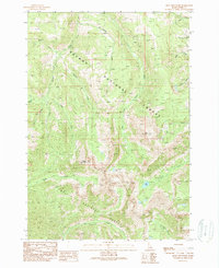
1989 · Mogg Mountain
USGS Topo · 1:24,000
1989 · Stroud Creek
USGS Topo · 1:24,000