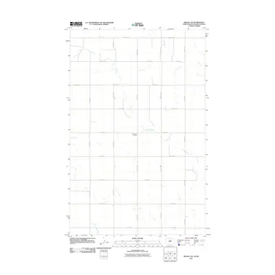
2011 Map of Mohall NE
USGS Topo · Published 2011About this map
Eden Valley Cemetery serves as a primary historical anchor in this rural portion of Renville County, where the landscape is defined by the rectangular grid of the Public Land Survey System. The meandering path of Cut Bank Creek and its tributary, West Cut Bank Creek, break the geometric precision of the section lines and gravel roads such as County Rd-2 and 105th St NW. This 2011 survey documents the persistent agricultural character of the region, where numerous small, unnamed prairie potholes and seasonal wetlands are scattered across the fields. The map is particularly useful for understanding the modern rural infrastructure and water drainage patterns in the northern plains just south of the international border.
Find a feature on this map
19 named features on this map. Tap any name to fly to it.
Don’t see what you’re looking for? This feature index may not catch every label — zoom into the map to look around manually.
Map Details
Editions of this 2011 Mohall NE Map
This is the sole edition of this map. No revisions or reprints were ever made.
Other maps of this area

1948 · Dokken SW
USGS Topo · 1:24,000

1948 · Mohall
USGS Topo · 1:24,000

1949 · Mohall SW
USGS Topo · 1:24,000

1949 · Mohall NE
USGS Topo · 1:24,000

1949 · Sherwood
USGS Topo · 1:24,000

1950 · Antler NW
USGS Topo · 1:24,000

1950 · Mohall
USGS Topo · 1:62,500

1954 · Minot
USGS Topo · 1:250,000

1958 · Minot
USGS Topo · 1:250,000
2011 · Antler SW
USGS Topo · 1:24,000