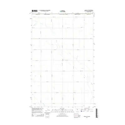
2014 Map of Mohall NE
USGS Topo · Published 2014About this map
Cut Bank Creek meanders through the heart of this North Dakota agricultural landscape, joined in the southwest corner by West Cut Bank Creek. This 2014 survey reveals a sparse, highly organized grid of rural section roads, including CR-2 and CR-9, which define the northern Great Plains farming tradition. The most significant historical marker on this landscape is Eden Valley Cemetery, located centrally near the intersection of 39th Avenue NW and 105th Street NW. The map illustrates a region in Renville County dedicated to large-scale cultivation, where the natural watercourses provide the only break in the strictly ordered geography of the modern American prairie.
Find a feature on this map
21 named features on this map. Tap any name to fly to it.
Don’t see what you’re looking for? This feature index may not catch every label — zoom into the map to look around manually.
Map Details
Editions of this 2014 Mohall NE Map
This is the sole edition of this map. No revisions or reprints were ever made.
Other maps of this area

1948 · Dokken SW
USGS Topo · 1:24,000

1948 · Mohall
USGS Topo · 1:24,000

1949 · Mohall SW
USGS Topo · 1:24,000

1949 · Mohall NE
USGS Topo · 1:24,000

1949 · Sherwood
USGS Topo · 1:24,000

1950 · Antler NW
USGS Topo · 1:24,000

1950 · Mohall
USGS Topo · 1:62,500

1954 · Minot
USGS Topo · 1:250,000

1958 · Minot
USGS Topo · 1:250,000
2011 · Antler SW
USGS Topo · 1:24,000