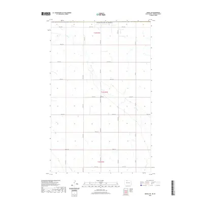
2020 Map of Mohall NE
USGS Topo · Published 2020About this map
Cut Bank Creek winds through the central prairie of this northern Renville County landscape, carving a subtle drainage pattern into the agricultural grid. The terrain is defined by a systematic network of section-line roads, including County Road 9 N and 105th Street NW, which delineate the expansive farm plots. Resting near a bend in the creek, the Eden Valley Cemetery serves as a quiet local landmark and a significant site for family researchers in this rural township. In the southwestern corner, West Cut Bank Creek enters the frame, highlighting the importance of these small waterways in a region where surface water is a primary geographical feature. The map captures a moment of modern rural continuity, where traditional land divisions meet the precise surveying of the late twentieth and early twenty-first centuries.
Find a feature on this map
22 named features on this map. Tap any name to fly to it.
Don’t see what you’re looking for? This feature index may not catch every label — zoom into the map to look around manually.
Map Details
Editions of this 2020 Mohall NE Map
This is the sole edition of this map. No revisions or reprints were ever made.
Other maps of this area

1948 · Dokken SW
USGS Topo · 1:24,000

1948 · Mohall
USGS Topo · 1:24,000

1949 · Mohall SW
USGS Topo · 1:24,000

1949 · Mohall NE
USGS Topo · 1:24,000

1949 · Sherwood
USGS Topo · 1:24,000

1950 · Antler NW
USGS Topo · 1:24,000

1950 · Mohall
USGS Topo · 1:62,500

1954 · Minot
USGS Topo · 1:250,000

1958 · Minot
USGS Topo · 1:250,000
2011 · Antler SW
USGS Topo · 1:24,000