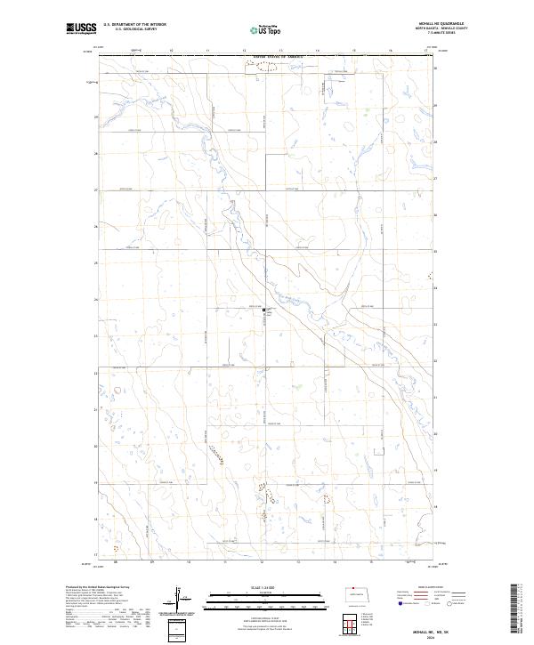
2024 Map of Mohall NE
USGS Topo · Published 2024About this map
Cut Bank Creek winds across this section of Renville County, carving a distinct valley through the prairie landscape of north-central North Dakota. This modern survey illustrates the expansive grid of the Public Land Survey System, where section lines are traced by a network of gravel and local roads like 109th St NW and 40th Ave NW. These corridors provide the primary infrastructure for the region's agricultural life, connecting isolated farmsteads and fields.
Find a feature on this map
21 named features on this map. Tap any name to fly to it.
Don’t see what you’re looking for? This feature index may not catch every label — zoom into the map to look around manually.
Map Details
Editions of this 2024 Mohall NE Map
This is the sole edition of this map. No revisions or reprints were ever made.
Other maps of this area

1948 · Dokken SW
USGS Topo · 1:24,000

1948 · Mohall
USGS Topo · 1:24,000

1949 · Mohall SW
USGS Topo · 1:24,000

1949 · Mohall NE
USGS Topo · 1:24,000

1949 · Sherwood
USGS Topo · 1:24,000

1950 · Antler NW
USGS Topo · 1:24,000

1950 · Mohall
USGS Topo · 1:62,500

1954 · Minot
USGS Topo · 1:250,000

1958 · Minot
USGS Topo · 1:250,000
2011 · Antler SW
USGS Topo · 1:24,000