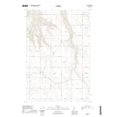
2020 Map of Mohler
USGS Topo · Published 2020About this map
Mohler stands as the primary settlement in this agricultural landscape of the Idaho Panhandle, situated where the terrain begins to break toward the canyon systems of the Clearwater River. The plateau is defined by Central Ridge, a prominent landform that dictates the local drainage and road patterns. Watercourses such as Little Canyon Cr and Holes Cr carve deep, winding paths through the high prairie, illustrating the complex topography that defines Lewis and Nez Perce counties.
Find a feature on this map
44 named features on this map. Tap any name to fly to it.
Don’t see what you’re looking for? This feature index may not catch every label — zoom into the map to look around manually.
Map Details
Editions of this 2020 Mohler Map
This is the sole edition of this map. No revisions or reprints were ever made.
Other maps of this area

1924 · Kamiah
USGS Topo · 1:125,000

1955 · Pullman
USGS Topo · 1:250,000

1958 · Pullman
USGS Topo · 1:250,000

1967 · Mohler
USGS Topo · 1:24,000

1967 · Fletcher
USGS Topo · 1:24,000

1967 · Craigmont
USGS Topo · 1:24,000

1967 · Sixmile Creek
USGS Topo · 1:24,000

1967 · Cottonwood NE
USGS Topo · 1:24,000

1967 · Peck
USGS Topo · 1:24,000

1967 · Orofino West
USGS Topo · 1:24,000