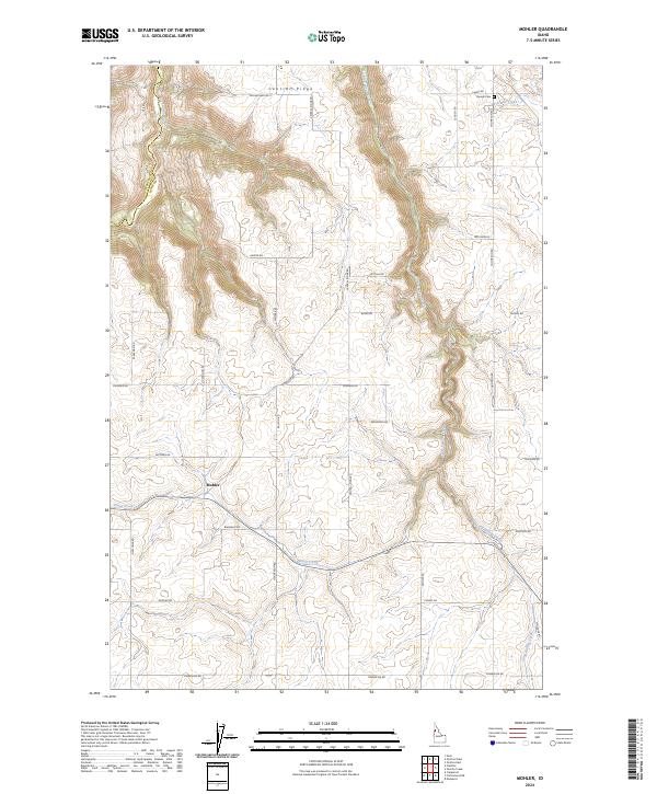
2024 Map of Mohler
USGS Topo · Published 2024About this map
Mohler sits on a plateau characterized by the deep, winding incisions of the Idaho landscape, where the Central Ridge separates drainage systems feeding into Big Canyon Creek and Little Canyon Creek. This modern survey reveals a highly structured agricultural grid, where family-named routes like Zenner Rd and Ralstin Rd connect the high ground above the canyon breaks. The map captures the intersection of Lewis County and Nez Perce County, providing a contemporary view of rural property divisions and water access.
Find a feature on this map
40 named features on this map. Tap any name to fly to it.
Don’t see what you’re looking for? This feature index may not catch every label — zoom into the map to look around manually.
Map Details
Editions of this 2024 Mohler Map
This is the sole edition of this map. No revisions or reprints were ever made.
Other maps of this area

1924 · Kamiah
USGS Topo · 1:125,000

1955 · Pullman
USGS Topo · 1:250,000

1958 · Pullman
USGS Topo · 1:250,000

1967 · Mohler
USGS Topo · 1:24,000

1967 · Fletcher
USGS Topo · 1:24,000

1967 · Craigmont
USGS Topo · 1:24,000

1967 · Sixmile Creek
USGS Topo · 1:24,000

1967 · Cottonwood NE
USGS Topo · 1:24,000

1967 · Peck
USGS Topo · 1:24,000

1967 · Orofino West
USGS Topo · 1:24,000