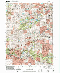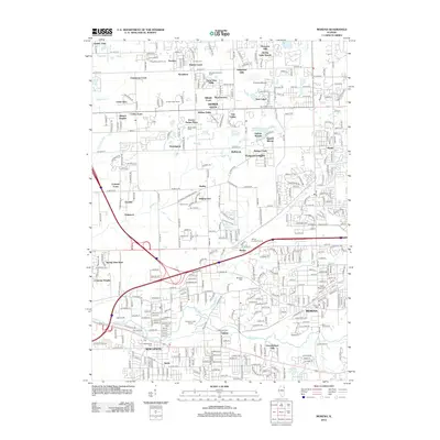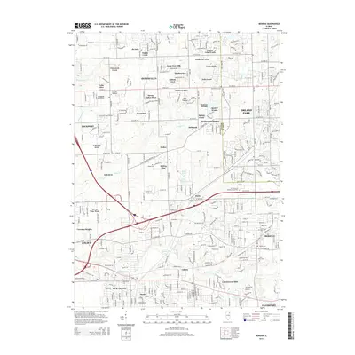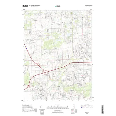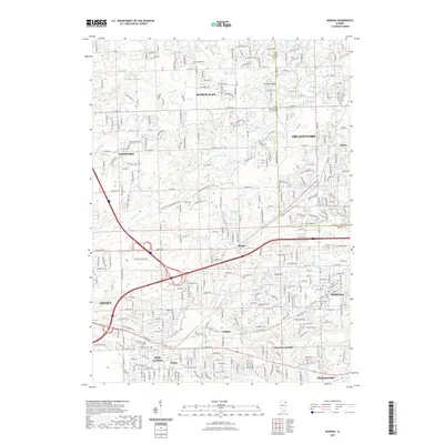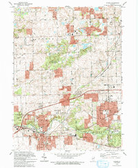
1993 Map of Mokena
USGS Topo · Published 1994About this map
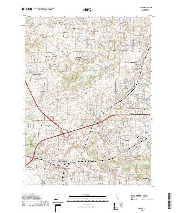
Mokena and New Lenox serve as the primary hubs in this suburbanizing landscape on the edge of the Cook and Will county line. The map captures a moment of transition where large tracts of forest, such as Messenger Woods County Forest Preserve and Higinbotham Woods, stand alongside expanding residential blocks and the Chicago Rock Island and Pacific railroad corridor. The area is dotted with historic markers of early settlement, including Hadley Cem, Brooks Cem, and the small community of Marley. These cemeteries and old church sites like Homer Ch provide essential data for genealogists tracing families in Homer and Orland townships. The local transport network is anchored by the Old Plank Road Trail and the established path of Lincoln Highway, weaving through a terrain defined by the drainage of Hickory Creek and Marley Creek.
Find a feature on this map
69 named features on this map. Tap any name to fly to it.
Don’t see what you’re looking for? This feature index may not catch every label — zoom into the map to look around manually.
Map Details
Editions of this 1993 Mokena Map
This is the sole edition of this map. No revisions or reprints were ever made.
Historical Maps of Joliet Through Time
10 maps found