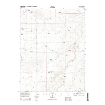
2014 Map of Molen
USGS Topo · Published 2014About this map
The agrarian and water-dependent landscape of Emery County is captured here in the early 21st century, centered on the settlement of Molen and the eastern edge of Ferron. A complex network of irrigation infrastructure, including the Molen Ditch, Peterson Ditch, and Fugate Ditch, crisscrosses the terrain, illustrating the historical engineering required to sustain agriculture in this part of Castle Valley. These waterways draw from Ferron Cr, which carves through the distinct geological feature known as The Box before winding toward the Dutch Flat Reservoir.
Find a feature on this map
47 named features on this map. Tap any name to fly to it.
Don’t see what you’re looking for? This feature index may not catch every label — zoom into the map to look around manually.
Map Details
Editions of this 2014 Molen Map
This is the sole edition of this map. No revisions or reprints were ever made.
Other maps of this area

1885 · San Rafael
USGS Topo · 1:250,000

1885 · Manti
USGS Topo · 1:250,000

1885 · Fish Lake
USGS Topo · 1:250,000

1886 · Price River
USGS Topo · 1:250,000

1895 · Manti
USGS Topo · 1:250,000

1896 · Price River
USGS Topo · 1:250,000

1896 · Fish Lake
USGS Topo · 1:250,000

1923 · Castle Dale
USGS Topo · 1:62,500

1925 · Castle Dale
USGS Topo · 1:62,500

1952 · San Rafael Knob
USGS Topo · 1:62,500