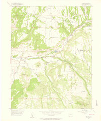
1955 Map of Molina
USGS Topo · Published 1957About this map
Molina sits at the heart of Plateau Valley, serving as the primary hub in a landscape defined by the convergence of Cottonwood Creek and Plateau Creek. This mid-1950s survey reveals a high desert ranching economy transitioning away from early pioneer sites, evidenced by numerous isolated dwellings marked as abandoned. A clear pattern of upland settlement is visible across Georgia Mesa and Mormon Mesa, where early social structures like the Mormon Mesa Sch and Georgia Mesa Sch supported remote families.
Find a feature on this map
42 named features on this map. Tap any name to fly to it.
Don’t see what you’re looking for? This feature index may not catch every label — zoom into the map to look around manually.
Map Details
Editions of this 1955 Molina Map
5 editions found
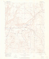
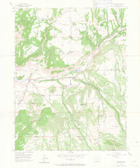
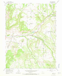
Other maps of this area

1929 · Grand Valley
USGS Topo · 1:62,500

1955 · Collbran
USGS Topo · 1:24,000

1955 · Mesa
USGS Topo · 1:24,000

1955 · Grand Mesa
USGS Topo · 1:24,000

1955 · Molina
USGS Topo · 1:24,000

1955 · Skyway
USGS Topo · 1:24,000

1956 · Grand Junction
USGS Topo · 1:250,000

1957 · Leadville
USGS Topo · 1:250,000

1959 · Grand Junction
USGS Topo · 1:250,000

1959 · Leadville
USGS Topo · 1:250,000