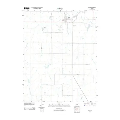
2010 Map of Moline
USGS Topo · Published 2010About this map
Moline serves as the central hub of this Elk County landscape, situated at the confluence of the North Fork Wildcat Creek and the main channel of Wildcat Creek. The town's grid is bounded by N Biddle St and 3rd St, while its water management is clearly defined by the Moline City Dam and the Santa Fe Lake Dam just to the northwest. The surrounding countryside is defined by a dense network of sectional roads and a series of smaller waterways, including Bakers Branch and Spring Creek, which drain the open agricultural fields.
Find a feature on this map
44 named features on this map. Tap any name to fly to it.
Don’t see what you’re looking for? This feature index may not catch every label — zoom into the map to look around manually.
Map Details
Editions of this 2010 Moline Map
This is the sole edition of this map. No revisions or reprints were ever made.
Other maps of this area

1885 · Sedan
USGS Topo · 1:125,000

1889 · Sedan
USGS Topo · 1:125,000

1955 · Wichita
USGS Topo · 1:250,000

1958 · Wichita
USGS Topo · 1:250,000

1962 · Moline
USGS Topo · 1:24,000
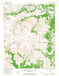
1962 · Elk Falls
USGS Topo · 1:24,000

1962 · Sedan
USGS Topo · 1:24,000

1962 · Elgin NE
USGS Topo · 1:24,000
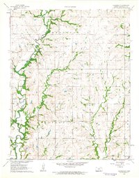
1962 · Cloverdale
USGS Topo · 1:24,000
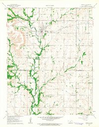
1962 · Grenola
USGS Topo · 1:24,000