
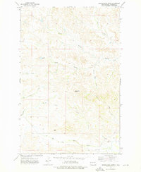
1972 Map of Moline School
USGS Topo · Published 1975About this map
Moline School stands as a central landmark in this rural expanse of McKenzie County, reflecting the distributed settlement patterns of North Dakota in the early 1970s. The landscape is defined by the winding course of Charbonneau Creek and its tributary, the West Branch Charbonneau Creek, which carve through the terrain alongside Antelope Creek and Spring Creek. Human infrastructure is sparse but purposeful, marked by a local Townhall, a remote Landing Strip, and a solitary Pipeline crossing the northern sections. Community life centers on locations like Highland Ch, which provides a rare gathering point in an area otherwise dominated by open range and watercourses. This survey by the U.S. Geological Survey captures the quiet character of the region before significant modern changes, preserving the locations of early rural institutions.
Find a feature on this map
13 named features on this map. Tap any name to fly to it.
Don’t see what you’re looking for? This feature index may not catch every label — zoom into the map to look around manually.
Map Details
Editions of this 1972 Moline School Map
This is the sole edition of this map. No revisions or reprints were ever made.
Other maps of this area

1953 · Watford City
USGS Topo · 1:250,000

1957 · Watford City
USGS Topo · 1:250,000

1967 · Watford City
USGS Topo · 1:250,000

1972 · Bear Butte
USGS Topo · 1:24,000

1972 · Alexander
USGS Topo · 1:24,000

1972 · Rawson
USGS Topo · 1:24,000

1972 · Charbonneau
USGS Topo · 1:24,000

1972 · Sheep Creek
USGS Topo · 1:24,000

1972 · Sather Lake
USGS Topo · 1:24,000
1972 · Burning Mine Butte
USGS Topo · 1:24,000