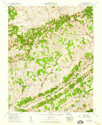
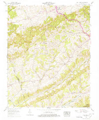
1958 Map of Moll Creek
USGS Topo · Published 1960About this map
Copper Ridge and the parallel crest of Chestnut Ridge define the rhythmic, linear geography of this corner of Russell County during the late 1950s. The settlement pattern follows the narrow valley floors and lower slopes, anchored by local centers like Banners Corner and Lawsons Store. This survey is particularly valuable for genealogists, as it meticulously identifies dozens of family-named burial grounds, including Fraley Cem, Gose Cem, and Temple Hill Cem, often situated near their respective family homeplaces in the hollows.
Find a feature on this map
104 named features on this map. Tap any name to fly to it.
Don’t see what you’re looking for? This feature index may not catch every label — zoom into the map to look around manually.
Map Details
Editions of this 1958 Moll Creek Map
5 editions found
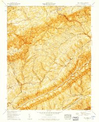
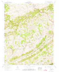
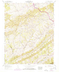
Other maps of this area

1897 · Bristol
USGS Topo · 1:125,000

1902 · Bristol
USGS Topo · 1:125,000

1918 · Carterton
USGS Topo · 1:62,500

1920 · Coeburn
USGS Topo · 1:48,000

1934 · Wallace
USGS Topo · 1:24,000

1934 · Hansonville
USGS Topo · 1:24,000
1934 · Carbo
USGS Topo · 1:24,000

1935 · Hilton
USGS Topo · 1:24,000

1935 · Mendota
USGS Topo · 1:24,000
1935 · Moll Creek
USGS Topo · 1:24,000