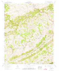
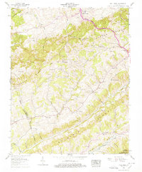
1958 Map of Moll Creek
USGS Topo · Published 1974About this map
Copper Ridge and Moccasin Ridge dominate this Southwest Virginia landscape, dictating the settlement patterns and transport routes through the valleys of Copper Creek and Moccasin Creek. Published from 1958 field data, the map reveals a deeply etched topography where small communities like Mew, Banners Corner, and Tumbez are connected by winding mountain roads. Family history is etched into the terrain through dozens of named burial grounds such as Osborne Cem, Keith Cem, and Salyer Cem, often positioned on hillsides near local landmarks like Duff Knob. The sheer density of rural institutions, from the Dorton School and Mew Sch to churches like Brick Ch and Castle Run Church, highlights a self-sufficient mid-century Appalachian community structured around family ridges and hollows like Osborne Hollow and Porter Hollow.
Find a feature on this map
92 named features on this map. Tap any name to fly to it.
Don’t see what you’re looking for? This feature index may not catch every label — zoom into the map to look around manually.
Map Details
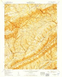
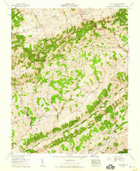
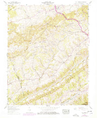
Editions of this 1958 Moll Creek Map
5 editions found
Other maps of this area

1897 · Bristol
USGS Topo · 1:125,000

1902 · Bristol
USGS Topo · 1:125,000

1918 · Carterton
USGS Topo · 1:62,500

1920 · Coeburn
USGS Topo · 1:48,000

1934 · Wallace
USGS Topo · 1:24,000

1934 · Hansonville
USGS Topo · 1:24,000
1934 · Carbo
USGS Topo · 1:24,000

1935 · Hilton
USGS Topo · 1:24,000

1935 · Mendota
USGS Topo · 1:24,000
1935 · Moll Creek
USGS Topo · 1:24,000