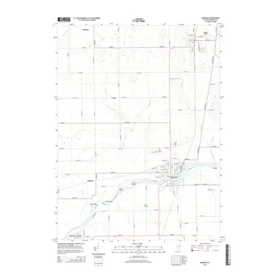
2015 Map of Momence
USGS Topo · Published 2015About this map
The Kankakee River defines the southern half of this Illinois landscape, winding through a complex of riverine islands including Parish Island, Koops Island, Maple Island, and Eagle Island. The city of Momence serves as the focal point, situated where the river branches around these landforms and is met by Trim Creek. The map documents a blend of established riverfront communities and the grid-based agricultural layout of the surrounding prairies, where smaller settlements like Whitaker and Yeager sit along the section-line roads.
Find a feature on this map
89 named features on this map. Tap any name to fly to it.
Don’t see what you’re looking for? This feature index may not catch every label — zoom into the map to look around manually.
Map Details
Editions of this 2015 Momence Map
This is the sole edition of this map. No revisions or reprints were ever made.
Other maps of this area

1922 · Momence
USGS Topo · 1:62,500

1922 · Kankakee
USGS Topo · 1:62,500

1924 · Momence
USGS Topo · 1:62,500

1924 · Kankakee
USGS Topo · 1:62,500

1949 · Peotone
USGS Topo · 1:62,500

1949 · Crete
USGS Topo · 1:62,500

1953 · Beecher West
USGS Topo · 1:24,000

1953 · Beecher East
USGS Topo · 1:24,000

1953 · Peotone
USGS Topo · 1:24,000

1953 · Chicago
USGS Topo · 1:250,000