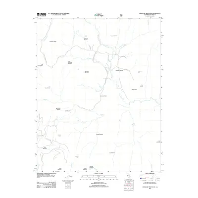
2012 Map of Monache Mountain
USGS Topo · Published 2012About this map
The S Fork Kern River winds through this high-altitude landscape in the southern Sierra Nevada, defining a region characterized by expansive meadows and seasonal livestock camps. Modern infrastructure remains light, with primitive routes like the Monache Admin Cabin Rd and Monache Jeep Road providing access to historical grazing grounds. The presence of Monache Cow Camps near Soda Springs reflects the area's long-standing connection to the cattle industry.
Find a feature on this map
50 named features on this map. Tap any name to fly to it.
Don’t see what you’re looking for? This feature index may not catch every label — zoom into the map to look around manually.
Map Details
Editions of this 2012 Monache Mountain Map
This is the sole edition of this map. No revisions or reprints were ever made.
Other maps of this area

1905 · Olancha
USGS Topo · 1:125,000

1907 · Olancha
USGS Topo · 1:125,000

1948 · Fresno
USGS Topo · 1:250,000

1955 · Fresno
USGS Topo · 1:250,000

1956 · Fresno
USGS Topo · 1:250,000

1956 · Hockett Peak
USGS Topo · 1:62,500
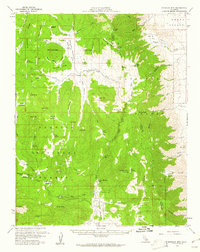
1956 · Monache Mtn
USGS Topo · 1:62,500

1956 · Olancha
USGS Topo · 1:62,500
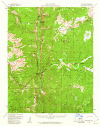
1956 · Kern Peak
USGS Topo · 1:62,500

1958 · Fresno
USGS Topo · 1:250,000