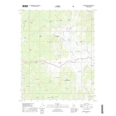
2018 Map of Monache Mountain
USGS Topo · Published 2018About this map
Monache Mtn stands as a central landmark in this high-elevation landscape within the southern Sierra Nevada, where the Inyo National Forest meets the Sequoia National Forest. The eastern portion of the map is defined by the winding route of the Pacific Crest National Scenic Trail, which traverses a series of alpine meadows and ridges including Beck Meadow and Cow Canyon. The S Fork Kern River provides the primary drainage for the area, joined by numerous seasonal streams such as Snake Creek and Soda Creek. Local topography is characterized by a high density of named meadows, such as Bakeoven Meadow, Broder Meadow, and McConnell Meadow, which likely served as seasonal grazing or campsites. A network of primitive routes like the Monache Jeep Road and Anchor Ranch Rd suggests the continued use of this remote terrain for recreation and forestry management.
Find a feature on this map
63 named features on this map. Tap any name to fly to it.
Don’t see what you’re looking for? This feature index may not catch every label — zoom into the map to look around manually.
Map Details
Editions of this 2018 Monache Mountain Map
This is the sole edition of this map. No revisions or reprints were ever made.
Other maps of this area

1905 · Olancha
USGS Topo · 1:125,000

1907 · Olancha
USGS Topo · 1:125,000

1948 · Fresno
USGS Topo · 1:250,000

1955 · Fresno
USGS Topo · 1:250,000

1956 · Fresno
USGS Topo · 1:250,000

1956 · Hockett Peak
USGS Topo · 1:62,500
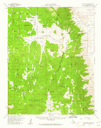
1956 · Monache Mtn
USGS Topo · 1:62,500

1956 · Olancha
USGS Topo · 1:62,500
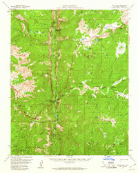
1956 · Kern Peak
USGS Topo · 1:62,500

1958 · Fresno
USGS Topo · 1:250,000