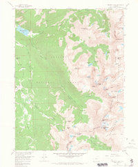
1958 Map of Monarch Lake
USGS Topo · Published 1966About this map
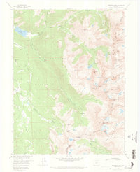
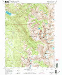
The Continental Divide forms the backbone of this high-altitude landscape along the border of Grand and Boulder counties. Within the Arapaho National Forest and Roosevelt National Forest, the terrain is defined by dramatic peaks and glacial features. Permanent ice fields like the Isabelle Glacier and Arapaho Glacier feed a network of high-country lakes and creeks, including the large Monarch Lake in the northwest.
Find a feature on this map
67 named features on this map. Tap any name to fly to it.
Don’t see what you’re looking for? This feature index may not catch every label — zoom into the map to look around manually.
Map Details
Editions of this 1958 Monarch Lake Map
6 editions found
Other maps of this area

1905 · Central City
USGS Topo · 1:62,500

1910 · Central City
USGS Topo · 1:62,500

1912 · Central City
USGS Topo · 1:62,500

1915 · Longs Peak
USGS Topo · 1:125,000

1919 · Rocky Mountain National Park
USGS Topo · 1:125,000

1924 · Fraser
USGS Topo · 1:62,500

1926 · Fraser
USGS Topo · 1:62,500

1942 · Nederland
USGS Topo · 1:24,000
1944 · Nederland
USGS Topo · 1:31,680

1953 · Denver
USGS Topo · 1:250,000