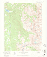
1958 Map of Monarch Lake
USGS Topo · Published 1973About this map
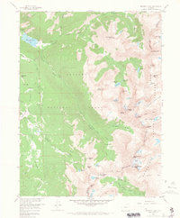
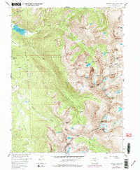
Monarch Lake serves as a focal point for this 1958 survey of the high-altitude divide between Grand and Boulder counties. The landscape is defined by the steep crest of the Continental Divide, which separates the drainage of Arapaho Creek from the headwaters of South St Vrain Creek and Middle Fork Boulder Creek. This era of the Arapaho National Forest shows a network of pack trails facilitating movement through demanding terrain, including the Arapaho Pass Trail and High Lonesome Trail. Mining interests, though remote, are documented by the High Lonesome Mine and the Fourth of July Mine near Arapaho Pass. Glacial features such as Arapaho Glacier and Isabelle Glacier highlight the year-round ice and snow pack that feeds alpine water bodies like Lake Dorothy and Columbine Lake.
Find a feature on this map
68 named features on this map. Tap any name to fly to it.
Don’t see what you’re looking for? This feature index may not catch every label — zoom into the map to look around manually.
Map Details
Editions of this 1958 Monarch Lake Map
6 editions found
Other maps of this area

1905 · Central City
USGS Topo · 1:62,500

1910 · Central City
USGS Topo · 1:62,500

1912 · Central City
USGS Topo · 1:62,500

1915 · Longs Peak
USGS Topo · 1:125,000

1919 · Rocky Mountain National Park
USGS Topo · 1:125,000

1924 · Fraser
USGS Topo · 1:62,500

1926 · Fraser
USGS Topo · 1:62,500

1942 · Nederland
USGS Topo · 1:24,000
1944 · Nederland
USGS Topo · 1:31,680

1953 · Denver
USGS Topo · 1:250,000