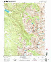
1958 Map of Monarch Lake
USGS Topo · Published 1978About this map
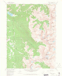
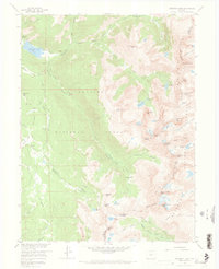
Monarch Lake sits at the western edge of this 1958 survey, serving as a catchment for the drainage of Buchanan Creek and Cascade Creek. The terrain is dominated by the high-altitude wall of the Continental Divide, which separates the Arapaho National Forest in Grand County from the Roosevelt National Forest in Boulder County. Evidence of early 20th-century prospecting remains at the High Lonesome Mine and the Fourth of July Mine, reflecting the era's mining activity in these difficult elevations. The map details a network of high-country routes including the Buchanan Pass Trail and High Lonesome Trail, which navigate between jagged summits like Lone Eagle Peak and glacial features such as the Arapaho Glacier. The presence of several glaciers, including Peck Glacier and Fair Glacier, highlights the alpine environment of the Indian Peaks range during this mid-century period.
Find a feature on this map
58 named features on this map. Tap any name to fly to it.
Don’t see what you’re looking for? This feature index may not catch every label — zoom into the map to look around manually.
Map Details
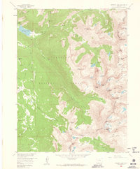
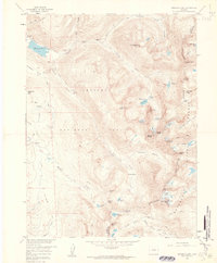
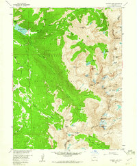
Editions of this 1958 Monarch Lake Map
6 editions found
Other maps of this area

1905 · Central City
USGS Topo · 1:62,500

1910 · Central City
USGS Topo · 1:62,500

1912 · Central City
USGS Topo · 1:62,500

1915 · Longs Peak
USGS Topo · 1:125,000

1919 · Rocky Mountain National Park
USGS Topo · 1:125,000

1924 · Fraser
USGS Topo · 1:62,500

1926 · Fraser
USGS Topo · 1:62,500

1942 · Nederland
USGS Topo · 1:24,000
1944 · Nederland
USGS Topo · 1:31,680

1953 · Denver
USGS Topo · 1:250,000