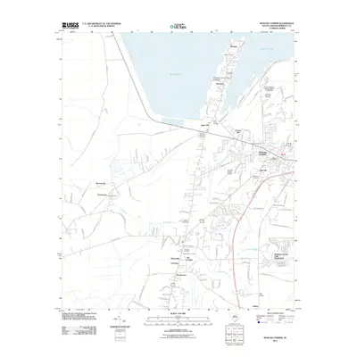
2011 Map of Moncks Corner
USGS Topo · Published 2011About this map
Lake Moultrie defines the northern edge of this coastal plain landscape, held by the South Carolina Noname 08016 D-3466 Dam. The settlement of Pinopolis occupies the Pinopolis Peninsula, a finger of land extending into the water characterized by numerous local landmarks including Calvary Cemetery and the Pinopolis Post Office. Further south, the county seat of Moncks Corner serves as a regional hub, connected to outlying communities like Whitesville and Murraysville by a maturing network of roads and drainage branches.
Find a feature on this map
122 named features on this map. Tap any name to fly to it.
Don’t see what you’re looking for? This feature index may not catch every label — zoom into the map to look around manually.
Map Details
Editions of this 2011 Moncks Corner Map
This is the sole edition of this map. No revisions or reprints were ever made.
Other maps of this area

1919 · Summerville
USGS Topo · 1:48,000
1919 · Cordesville
USGS Topo · 1:48,000
1920 · Chicora
USGS Topo · 1:48,000
1920 · Summerville
USGS Topo · 1:62,500
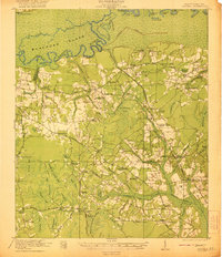
1921 · Chicora
USGS Topo · 1:62,500
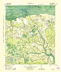
1943 · Chicora
USGS Topo · 1:62,500
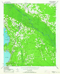
1943 · Bonneau
USGS Topo · 1:62,500
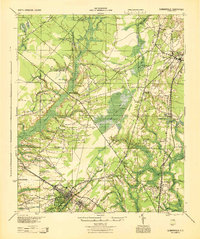
1944 · Summerville
USGS Topo · 1:62,500
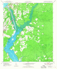
1948 · Cordesville
USGS Topo · 1:24,000
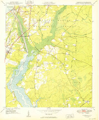
1949 · Cordesville
USGS Topo · 1:24,000