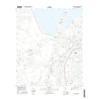
2017 Map of Moncks Corner
USGS Topo · Published 2017About this map
Lake Moultrie dominates the northwestern horizon of this South Carolina landscape, its waters contained by the W Dike Rd near the residential community of Pinopolis. The area serves as a significant hub for Berkeley County, centered on the growing street grid of Moncks Corner and the nearby Berkeley County Airport. Settlement patterns here are defined by a mix of established towns and smaller communities like Whitesville and Murraysville, interconnected by a network of local roads such as S Live Oak Dr and Pinopolis Rd.
Find a feature on this map
129 named features on this map. Tap any name to fly to it.
Don’t see what you’re looking for? This feature index may not catch every label — zoom into the map to look around manually.
Map Details
Editions of this 2017 Moncks Corner Map
This is the sole edition of this map. No revisions or reprints were ever made.
Other maps of this area

1919 · Summerville
USGS Topo · 1:48,000
1919 · Cordesville
USGS Topo · 1:48,000
1920 · Chicora
USGS Topo · 1:48,000
1920 · Summerville
USGS Topo · 1:62,500
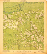
1921 · Chicora
USGS Topo · 1:62,500
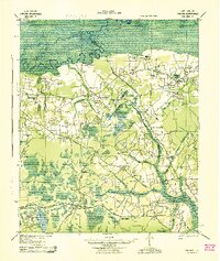
1943 · Chicora
USGS Topo · 1:62,500
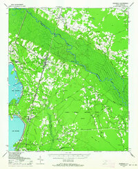
1943 · Bonneau
USGS Topo · 1:62,500
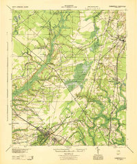
1944 · Summerville
USGS Topo · 1:62,500
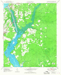
1948 · Cordesville
USGS Topo · 1:24,000
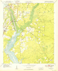
1949 · Cordesville
USGS Topo · 1:24,000