
1970 Map of Mondamin
USGS Topo · Published 1972About this map
Mondamin serves as the primary hub along the eastern edge of this Missouri River bottomland, centered on the intersection of the Chicago and North Western railroad and major highways. The landscape is defined by its complex hydrology, where the Soldier River and Old Soldier River wind through a network of engineered drainage channels including Burcham Ditch and Combination Ditch. These efforts to manage the floodplain sit alongside protected natural spaces such as the Round Lake State Wildlife Management Area and Tyson Island State Wildlife Management Area.
Find a feature on this map
31 named features on this map. Tap any name to fly to it.
Don’t see what you’re looking for? This feature index may not catch every label — zoom into the map to look around manually.
Map Details
Editions of this 1970 Mondamin Map
This is the sole edition of this map. No revisions or reprints were ever made.
Other maps of this area

1954 · Omaha
USGS Topo · 1:250,000

1955 · Fremont
USGS Topo · 1:250,000

1957 · Fremont
USGS Topo · 1:250,000

1957 · Omaha
USGS Topo · 1:250,000

1958 · Omaha
USGS Topo · 1:250,000

1958 · Fremont
USGS Topo · 1:250,000

1970 · Little Sioux
USGS Topo · 1:24,000
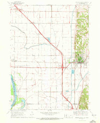
1970 · Missouri Valley
USGS Topo · 1:24,000

1970 · Herman
USGS Topo · 1:24,000
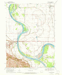
1970 · Modale
USGS Topo · 1:24,000