
1970 Map of Little Sioux
USGS Topo · Published 1972About this map
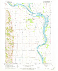
The Missouri River defines the border between Iowa and Nebraska in this 1970 snapshot, where the river's dynamic flow interacts with an extensive system of levees and man-made drainage. Near the confluence of the Little Sioux River and the Soldier River, the terrain is marked by the State Game Management Area on Deer Island, reflecting the preservation of river bottomlands amidst a heavily managed agricultural landscape.
Find a feature on this map
26 named features on this map. Tap any name to fly to it.
Don’t see what you’re looking for? This feature index may not catch every label — zoom into the map to look around manually.
Map Details
Editions of this 1970 Little Sioux Map
This is the sole edition of this map. No revisions or reprints were ever made.
Other maps of this area

1954 · Omaha
USGS Topo · 1:250,000

1955 · Fremont
USGS Topo · 1:250,000

1957 · Fremont
USGS Topo · 1:250,000

1957 · Omaha
USGS Topo · 1:250,000

1958 · Omaha
USGS Topo · 1:250,000

1958 · Fremont
USGS Topo · 1:250,000
1970 · Tekamah NW
USGS Topo · 1:24,000
1970 · Blencoe
USGS Topo · 1:24,000

1970 · Herman
USGS Topo · 1:24,000

1970 · Mondamin
USGS Topo · 1:24,000