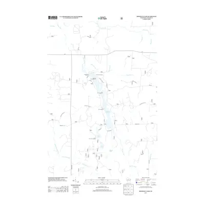
2013 Map of Mondeaux Dam
USGS Topo · Published 2013About this map
Mondeaux Flowage 24 dominates this part of the Chequamegon-Nicolet National Forest, creating a focal point for recreation and hydrology in Taylor County. The landscape is defined by its glacial heritage, clearly visible through the winding path of the Ice Age Natl Scenic Trl and features like Glacial Spring. The flowage is surrounded by a dense network of forest camps and public spaces, including Eastwood Campground, Spearhead Point Campground, and the Mondeaux Dam Picnic Area. To the south, the terrain transitions into a series of smaller water bodies such as N Twin Lake, S Twin Lake, and Bullhead Lake. This 2013 survey illustrates a modern recreational landscape where forest roads like Forest Rd 581 and Mondeaux Dr provide access to the river systems, including the Mondeaux River and the North Fork Yellow River.
Find a feature on this map
34 named features on this map. Tap any name to fly to it.
Don’t see what you’re looking for? This feature index may not catch every label — zoom into the map to look around manually.
Map Details
Editions of this 2013 Mondeaux Dam Map
This is the sole edition of this map. No revisions or reprints were ever made.
Other maps of this area

1944 · Ogema
USGS Topo · 1:48,000

1945 · Black River
USGS Topo · 1:48,000

1947 · Ogema
USGS Topo · 1:48,000

1949 · Ogema
USGS Topo · 1:48,000

1949 · Jump River Fire Tower
USGS Topo · 1:48,000

1951 · Lublin
USGS Topo · 1:48,000

1951 · Medford
USGS Topo · 1:48,000

1953 · Rice Lake
USGS Topo · 1:250,000

1959 · Rice Lake
USGS Topo · 1:250,000

1969 · Perkinstown
USGS Topo · 1:24,000