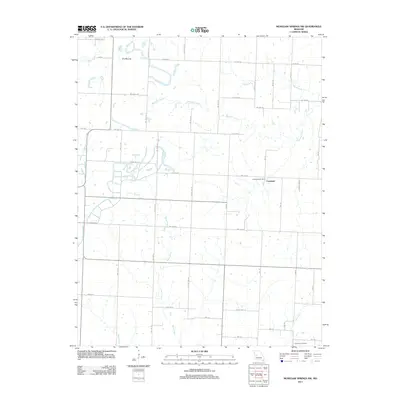
2011 Map of Monegaw Springs NW
USGS Topo · Published 2011About this map
The Copeland settlement and its nearby Copeland Post Office serve as the primary landmarks in this 2011 survey of St. Clair County. The landscape is defined by a dense network of drainage systems, including the branching paths of Marshall Creek, Ricky Creek, and Trap Branch. A distinctive topographic rise known as The Mound stands out in the northwestern portion of the quadrangle, north of Bear Creek.
Find a feature on this map
27 named features on this map. Tap any name to fly to it.
Don’t see what you’re looking for? This feature index may not catch every label — zoom into the map to look around manually.
Map Details
Editions of this 2011 Monegaw Springs NW Map
This is the sole edition of this map. No revisions or reprints were ever made.
Other maps of this area

1887 · Clinton
USGS Topo · 1:125,000

1887 · Butler
USGS Topo · 1:125,000

1894 · Butler
USGS Topo · 1:125,000

1894 · Clinton
USGS Topo · 1:125,000

1934 · Rockville
USGS Topo · 1:24,000

1938 · Monegaw Springs
USGS Topo · 1:24,000

1938 · Taberville
USGS Topo · 1:24,000

1940 · Taberville
USGS Topo · 1:24,000
1940 · Monegaw Springs
USGS Topo · 1:24,000

1947 · Jefferson City
USGS Topo · 1:250,000