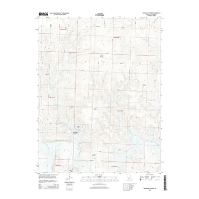
2015 Map of Monegaw Springs
USGS Topo · Published 2015About this map
Monegaw Springs and the small settlement of Chalk Level anchor this section of St. Clair County, where the southern landscape is defined by the winding course of the Osage River. This area is characterized by its numerous small tributaries and complex drainage systems, including Little Monegaw Cr, Salt Cr, and Gallinipper Cr, which feed into the primary river valley. The topography rises into prominent local landmarks such as Kibbie Hill, Clubhouse Hill, and Reader Hill, offering a clear view of the transition from upland ridges to the river bottoms.
Find a feature on this map
58 named features on this map. Tap any name to fly to it.
Don’t see what you’re looking for? This feature index may not catch every label — zoom into the map to look around manually.
Map Details
Editions of this 2015 Monegaw Springs Map
This is the sole edition of this map. No revisions or reprints were ever made.
Other maps of this area

1886 · Stockton
USGS Topo · 1:125,000

1887 · Clinton
USGS Topo · 1:125,000

1894 · Clinton
USGS Topo · 1:125,000

1937 · Tiffin
USGS Topo · 1:31,680

1938 · Monegaw Springs
USGS Topo · 1:24,000

1938 · Roscoe
USGS Topo · 1:24,000

1938 · Vista
USGS Topo · 1:24,000

1938 · Taberville
USGS Topo · 1:24,000

1939 · Osceola
USGS Topo · 1:24,000

1940 · Taberville
USGS Topo · 1:24,000