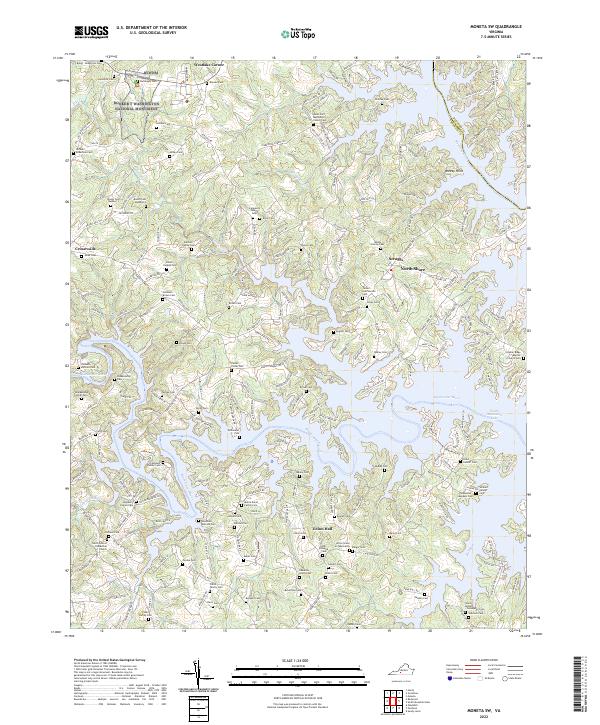
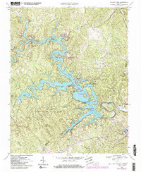
2022 Map of Moneta SW
USGS Topo · Published 2022About this map
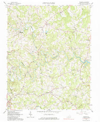
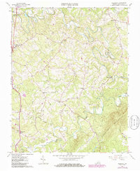
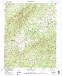
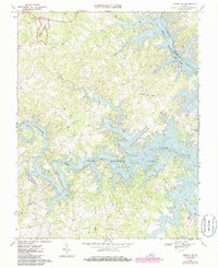
Booker T Washington National Monument anchors the northwestern corner of this landscape, marking the birthplace of the famed educator within the complex topography of Franklin County. The terrain is defined by the expansive, finger-like reaches of Smith Mountain Lake, where the Blackwater River and Roanoke River converge. This 2022 survey reveals a transition from traditional rural settlements like Union Hall and Scruggs to modern lakeside developments at North Shore and Westlake Corner.
Find a feature on this map
85 named features on this map. Tap any name to fly to it.
Don’t see what you’re looking for? This feature index may not catch every label — zoom into the map to look around manually.
Map Details
Editions of this 2022 Moneta SW Map
This is the sole edition of this map. No revisions or reprints were ever made.
Historical Maps of Foxsport Through Time
16 maps found
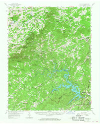
1957 Endicott
Franklin County, VA
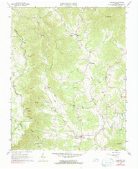
1963 Callaway
Franklin County, VA
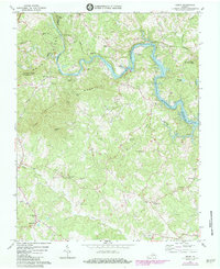
1963 Hardy
Franklin County, VA
1963 Redwood
Franklin County, VA
1964 Gladehill
Franklin County, VA
1964 Snow Creek
Franklin County, VA
1967 Moneta SW
Franklin County, VA
1967 Philpott Lake
Franklin County, VA
1977 Philpott Lake
Franklin County, VA
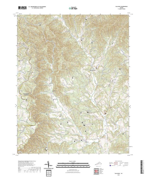
2022 Callaway
Franklin County, VA
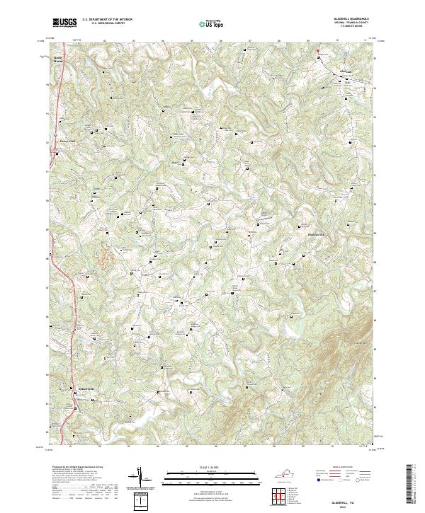
2022 Gladehill
Franklin County, VA
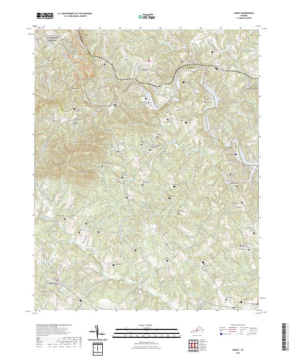
2022 Hardy
Franklin County, VA
2022 Moneta SW
Franklin County, VA
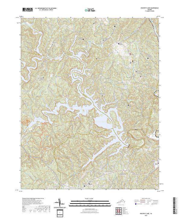
2022 Philpott Lake
Franklin County, VA
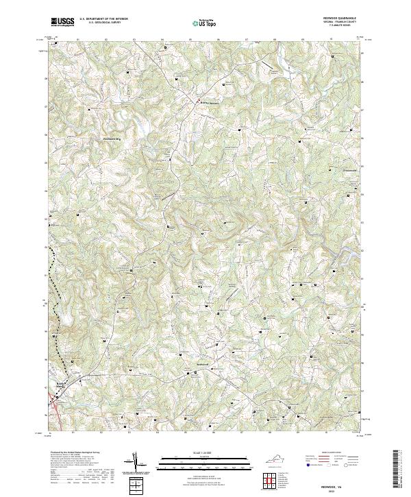
2022 Redwood
Franklin County, VA
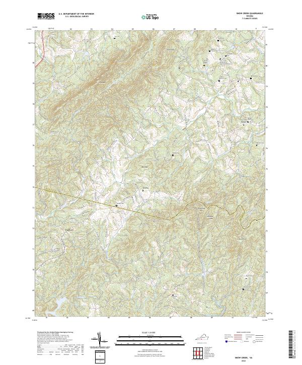
2022 Snow Creek
Franklin County, VA