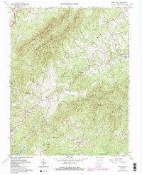
1964 Map of Snow Creek
USGS Topo · Published 1984About this map
Fork Mountain and Turkeycock Mountain dominate this Virginia landscape, where the rugged topography of the Blue Ridge foothills dictates the pattern of settlement. Small communities like Figsboro and Snow Creek are positioned along the winding valley floors, connected by a network of rural roads and a crossing Pipeline. The area is notably defined by its many water sources, from the headwaters of Leatherwood Creek and Beaver Creek to the Martinsville Reservoir and its associated Spillway.
Find a feature on this map
34 named features on this map. Tap any name to fly to it.
Don’t see what you’re looking for? This feature index may not catch every label — zoom into the map to look around manually.
Map Details
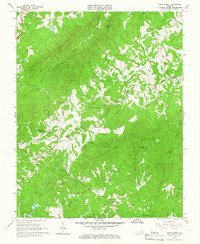
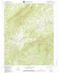
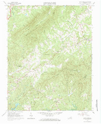
Editions of this 1964 Snow Creek Map
4 editions found
Other maps of this area

1922 · Callands
USGS Topo · 1:48,000

1924 · Martinsville
USGS Topo · 1:48,000

1924 · Draper
USGS Topo · 1:48,000

1924 · Callands
USGS Topo · 1:62,500

1925 · Rocky Mount
USGS Topo · 1:48,000

1926 · Martinsville
USGS Topo · 1:62,500

1926 · Draper
USGS Topo · 1:62,500

1927 · Rocky Mount
USGS Topo · 1:62,500

1927 · Martinsville
USGS Topo · 1:62,500

1944 · Martinsville
USGS Topo · 1:62,500