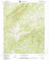
1964 Map of Snow Creek
USGS Topo · Published 1984About this map
Fork Mountain and Turkeycock Mountain define the topography of this corner of the Virginia Piedmont, where the boundary between Franklin Co and Henry Co follows the local ridgelines. The landscape is dotted with small rural communities like Snow Creek, Figsboro, and Dyers Store, each anchored by historical institutions such as Snow Creek Ch and Pleasant Grove Ch.
Find a feature on this map
39 named features on this map. Tap any name to fly to it.
Don’t see what you’re looking for? This feature index may not catch every label — zoom into the map to look around manually.
Map Details
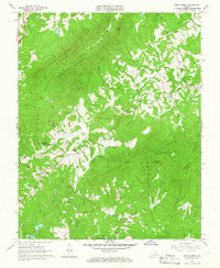
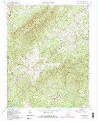
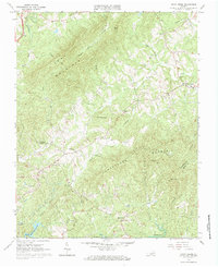
Editions of this 1964 Snow Creek Map
4 editions found
Other maps of this area

1922 · Callands
USGS Topo · 1:48,000

1924 · Martinsville
USGS Topo · 1:48,000

1924 · Draper
USGS Topo · 1:48,000

1924 · Callands
USGS Topo · 1:62,500

1925 · Rocky Mount
USGS Topo · 1:48,000

1926 · Martinsville
USGS Topo · 1:62,500

1926 · Draper
USGS Topo · 1:62,500

1927 · Rocky Mount
USGS Topo · 1:62,500

1927 · Martinsville
USGS Topo · 1:62,500

1944 · Martinsville
USGS Topo · 1:62,500