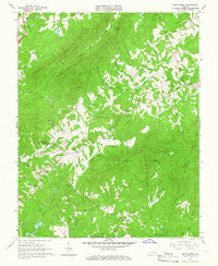
1964 Map of Snow Creek
USGS Topo · Published 1966About this map
Fork Mountain and Turkeycock Mountain dominate the central topography of this mid-1960s survey, illustrating a landscape defined by sharp ridges and deep creek valleys along the border of Franklin and Henry Counties. Small rural communities and crossroads such as Figsboro, Dyers Store, and Snow Creek are centered around local landmarks and country churches, including Snow Creek Ch and Trinity Ch. The map records an intricate drainage network flowing from the heights toward the southern reservoirs, with Reed Creek and Beaver Creek carving paths through the foothills.
Find a feature on this map
39 named features on this map. Tap any name to fly to it.
Don’t see what you’re looking for? This feature index may not catch every label — zoom into the map to look around manually.
Map Details
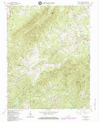
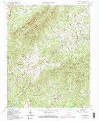
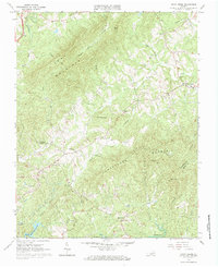
Editions of this 1964 Snow Creek Map
4 editions found
Other maps of this area

1922 · Callands
USGS Topo · 1:48,000

1924 · Martinsville
USGS Topo · 1:48,000

1924 · Draper
USGS Topo · 1:48,000

1924 · Callands
USGS Topo · 1:62,500

1925 · Rocky Mount
USGS Topo · 1:48,000

1926 · Martinsville
USGS Topo · 1:62,500

1926 · Draper
USGS Topo · 1:62,500

1927 · Rocky Mount
USGS Topo · 1:62,500

1927 · Martinsville
USGS Topo · 1:62,500

1944 · Martinsville
USGS Topo · 1:62,500