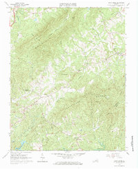
1964 Map of Snow Creek
USGS Topo · Published 1984About this map
The rugged divide between Franklin and Henry Counties is defined by the prominent ridges of Fork Mountain and Turkeycock Mountain. In the mid-1960s, this rural landscape was centered around small crossroads communities and family-named landmarks. The settlement of Snow Creek is documented alongside several significant local institutions, including Snow Creek Church, Trinity Church, and Pleasant Grove Church. To the south, the village of Figsboro sits near the headwaters of Reed Creek, while the Martinsville Reservoir and its associated basins, Reservoir No. 2 and Reservoir No. 3, illustrate the region's mid-century water management.
Find a feature on this map
42 named features on this map. Tap any name to fly to it.
Don’t see what you’re looking for? This feature index may not catch every label — zoom into the map to look around manually.
Map Details
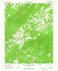
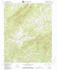
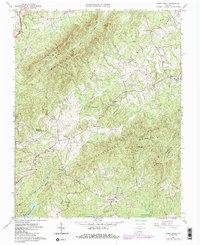
Editions of this 1964 Snow Creek Map
4 editions found
Other maps of this area

1922 · Callands
USGS Topo · 1:48,000

1924 · Martinsville
USGS Topo · 1:48,000

1924 · Draper
USGS Topo · 1:48,000

1924 · Callands
USGS Topo · 1:62,500

1925 · Rocky Mount
USGS Topo · 1:48,000

1926 · Martinsville
USGS Topo · 1:62,500

1926 · Draper
USGS Topo · 1:62,500

1927 · Rocky Mount
USGS Topo · 1:62,500

1927 · Martinsville
USGS Topo · 1:62,500

1944 · Martinsville
USGS Topo · 1:62,500